|
 |
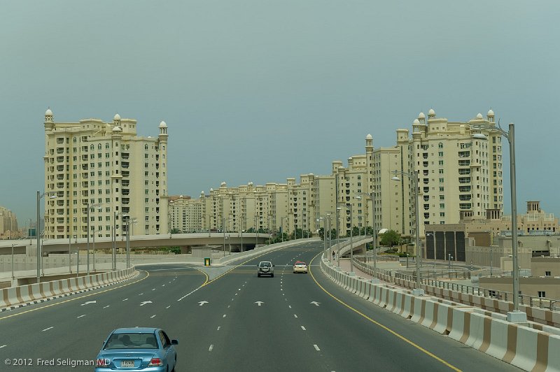
| 128 | From the air one literally sees a palm shaped island with numerous fronds. It is almost impossible to imagine the scale of the project. THE BEST WAY TO APPRECIATE THIS IS TO FOLLOW THE GPS LINK TO THIS PHOTO (AND MANY OTHERS) WHICH IF YOU CLICK ON THE MAP LINK (look for 'See Map' below on right) WILL TAKE YOU TO A GOOGLE VIEW OF THE JEREMIAH PALM ISLAND | |
| Photographer: Fred Seligman MD | Camera: NIKON D3S | Date: 4/6/12 11:27 AM | ISO: 200 | Exp. Time: 1/800s | Aperture: 5.6 | Focal Length: 56.0mm (~56.0mm) | Flash: No | Latitude: N 25°6'12.27" | Longitude: E 55°9'11.66" | Altitude: 15 metres | GPS time: 7:27:2 UTC | City: Dubai | Country: UAE | Copyright: © 2012 Fred Seligman MD | See map | |
| Total images: 241 | Fred's Web site | Home Page | Help | |